


Section length: 28.8 km
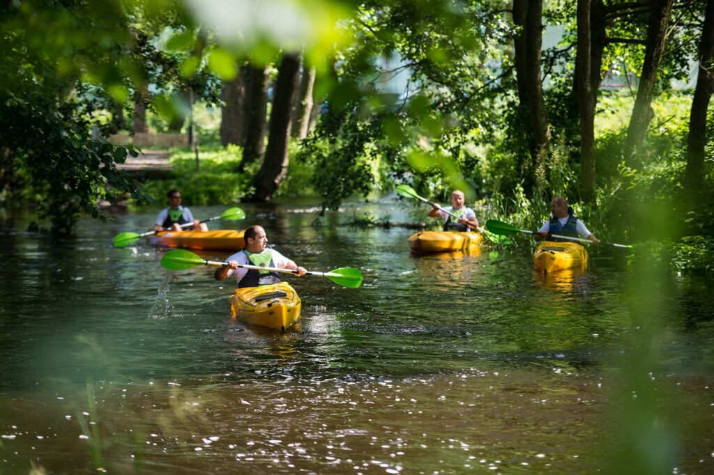
The Czernica River is rarely visited by kayakers. It is best to start your kayaking trip in Sporysz and finish in Lubnica. This section is about 40 km long. It is a route for those who enjoy peace and quiet. The river flows across remarkably wild and forested areas. However, the participants of the kayaking trip will not be bored thanks to the fast current and fallen trees. The river flows mostly through forests. On the route, there are two artificial obstacles which require portage: the first one is located in the Przyrzecze village and the second one is the mill in the centre of Czarne.
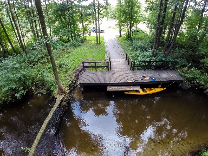
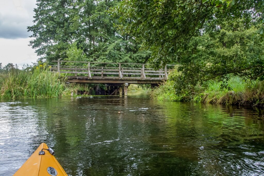
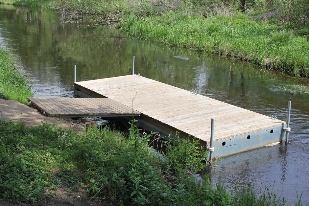
It is recommended to begin your trip downstream of the bridge in Sporysz. Over the first kilometres, there is a good deal of fallen trees which form natural obstacles. Only when you pass the Dzików village, the route becomes much easier. On the way, you paddle past a road bridge in the Łuszczyn, Dzików and Przyrzecze villages. In the latter, there is a portage next to a weir and fish ponds. The river slowly begins to widen. You paddle past the road bridges in Janowiec and Wronów. About 1 km before Czarne, you paddle past a field and a kayak marina near the Sarniak Forester’s Lodge. You reach Czarne – the largest town along the route. Near the mill, there is a portage. You take the kayaks out of the water, walk to the road bridge, cross it and turn towards the park to reach the place where you launch the kayaks. You paddle on and go past footbridges, a railway bridge and a road bridge. From Czarne on, the current is rapid. Fallen trees, some of them cut, which is proof of beavers’ presence, are other impediments in the riverbed. The last section of the route is ahead of you. It runs along a military training ground (which stretches from the right bank). At times, the river flows between steep banks. The alder and beech forest turns into a pine one. This is a sign that you are closer and closer to Gwda. You paddle across the landscape park Gwda River Valley which also includes the last section of the Czernica. You reach a small wooden bridge. It needs to be approached carefully because of the rapid current downstream of the bridge and the danger of capsizing. Right past it, there is the place where you can stop and end your trip. Further on, you paddle through rapids to Gwda 200 m before the Lubnica village where you have two options. The first one is to paddle along the Gwda to Lubnica, against the current. If you chose this one, you will struggle against the rapid current and winds. Many kayakers choose to tow their kayaks as they wade, waist deep in the river. The second option is to paddle down the Gwda River for about 6 km to the power station in Domyśl. Next to the hydroelectric power station, there is a car park – the place where the trip ends.