
")
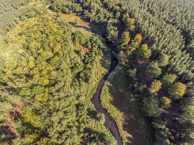
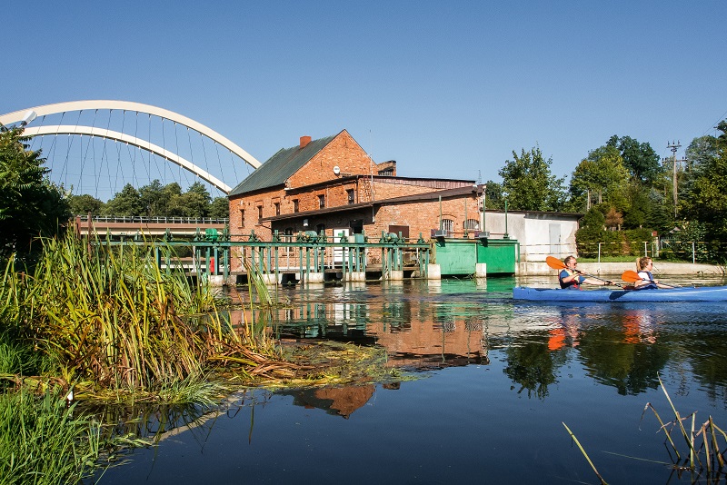
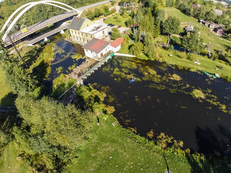
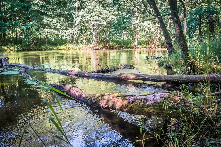
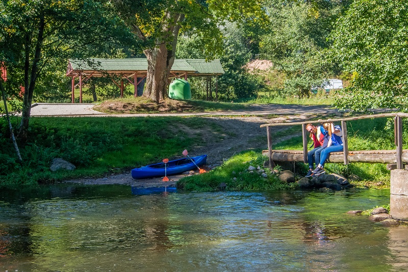
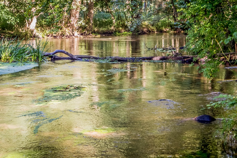
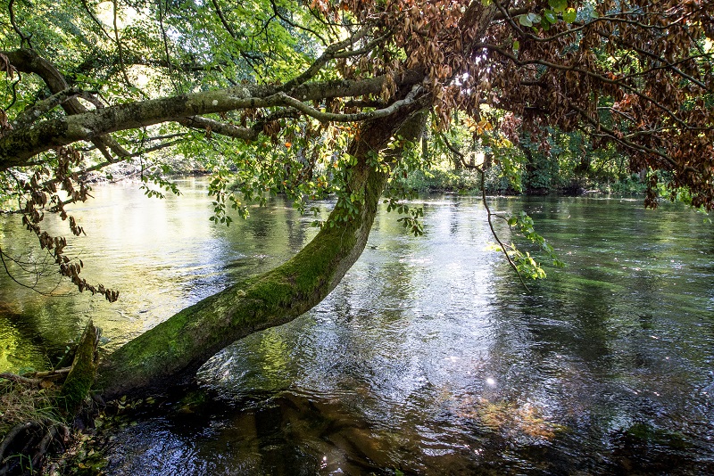
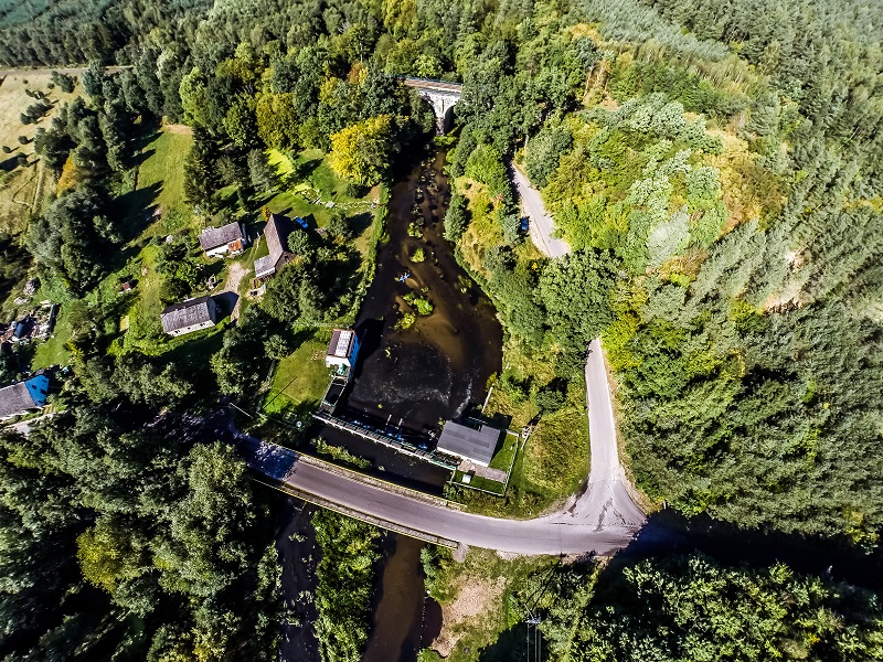
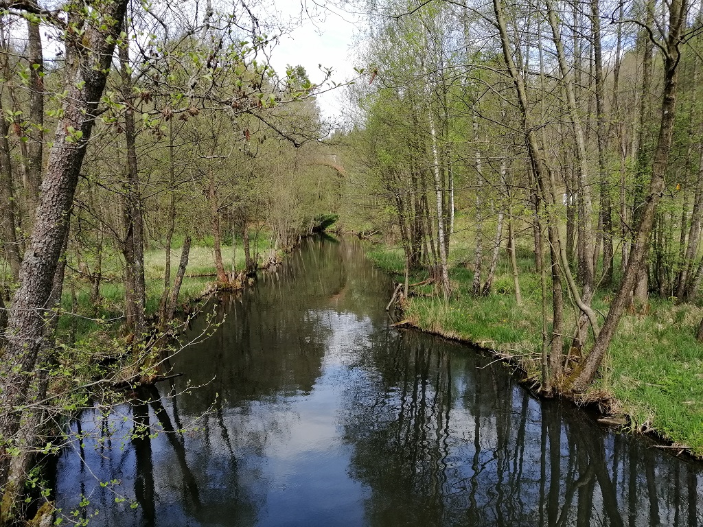
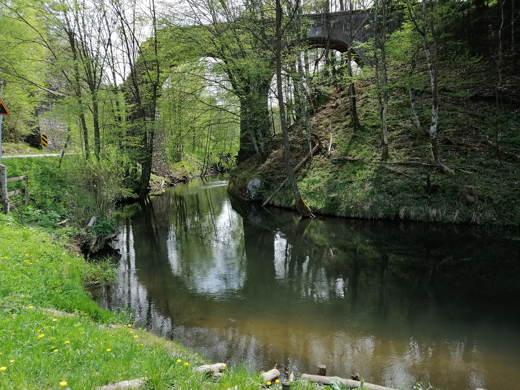
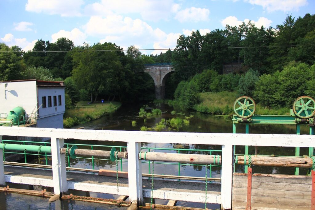
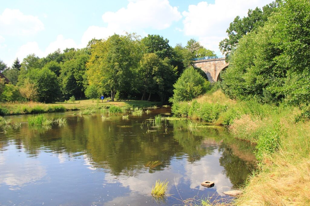
Section length: 40 km
The difficult section of the Łupawa River begins in Kozin and ends in Damno. From here, the route takes on the nature of a mountain river and is recommended for experienced kayakers who like adrenaline. The river current is very fast and the numerous rapids will be quite a challenge. Additional obstacles are the hydroelectric power stations in Kozin (along with a weir), Łupawa, Poganice and Łebień. After Kozin, the first difficult gorge of the Łupawa River begins. The river flows through a forest, its banks are high and the current is fast, with many obstacles such as fallen trees, shallows and huge boulders hidden just under the water surface. All these together form a dangerous combination and if you are careless for a moment, you could end up capsizing. It is not worth it to paddle at sunset because the sun’s glare makes it difficult to spot various underwater obstacles. The next gorge starts outside the village of Flisów and it is the key and most difficult stretch of the trip. The average drop here is 3 per mille and the current is so fast that foam crests form on the rapids. The water is too shallow to pose a threat to the life or health of kayakers, but a moment’s inattention can easily end in capsizing. There are fallen trees laying across the riverbed and obstructing the course of the river, and in addition you have to watch out for boulders. Close to the village of Łupawa, the river becomes calmer. In the village itself, it is worth visiting the power station and its surroundings. Further on, the section of the Łupawa River to the power station in Poganice is clearly easier and not so arduous. There are fewer obstacles and the current is slower. After passing Paganice, the river is of a forest nature and flows along high banks with big, beautiful meadows in places. The difficulty of the route increases again with shallows, stones, obstructions and fallen trees. The Łupawa carries more water, is deeper and very fast. You reach Łebień and another power station, downstream of which a high railway bridge rises over the river. At this point, you should beware of the dangerous threshold under the bridge. Further on, you paddle among the hills and forests of the Wysoczyzna Damnicka upland. The current is swift here, but the route is definitely easier. You reach Damno, where you can see brick buildings of an old mill on the left bank. Its remains are rows of piles on the river and, a few dozen metres further, a destroyed weir and violent rapids.