


Section length: 42 km
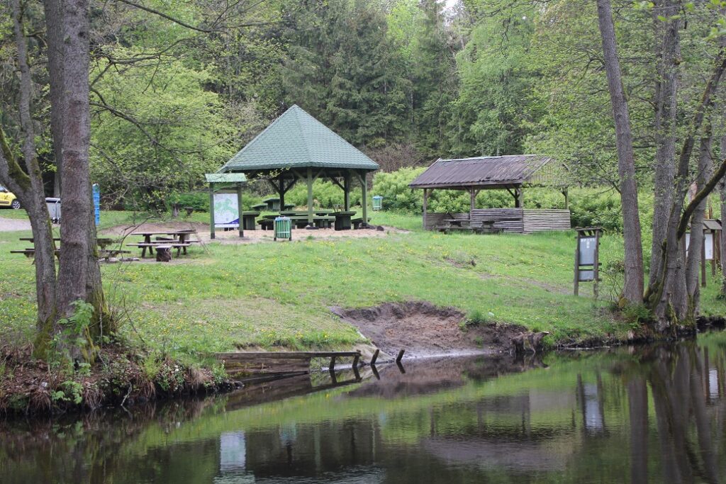
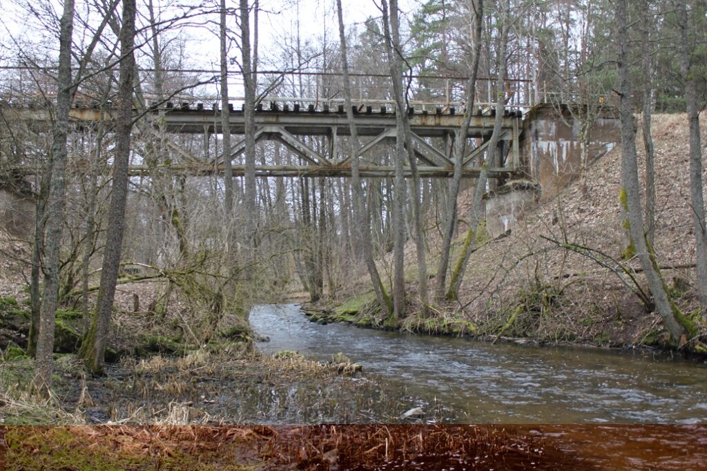
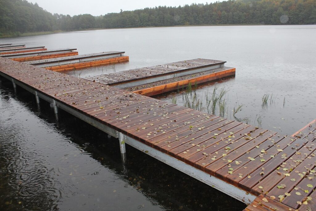
The initial section of the Brda Rivers starts with Lake Głębokie. The distance can easily be covered in single kayaks. From the Stara Brda Pilska village onwards, you can use double kayaks. On the Brda River, there are numerous signs and a fantastic tourist infrastructure. The section from Świeszyno to Dolinka is considered moderately difficult. It is suitable for more experienced kayakers. It leads through vast, wild forests. From time to time, there are obstacles which are easy to overcome. Here, as the river flows through a rather narrow riverbed, the current is quite fast. In the summer, there can be low water levels in the Wilkowo – Stara Brda section. You start your kayaking trip in Świeszyno, at the kayak marina and a bathing beach on Lake Głębokie. Then, you paddle across a shallow lake which is overgrown with wetland vegetation. After paddling onto the river, there are fallen trees, rocks and shallows ahead of you. You paddle past the villages of Wilkowo and Trzyniec. The trip continues until the first short portage at the fish ponds in Stara Brda Pilska. After the portage, there is a kayak marina where most kayaking trips begin because of the right water level in the river. As you paddle through forests, the route meanders and in the riverbed there are fallen trees or rocks which you pass rather easily. You paddle through the village of Żołna. The river is slightly deeper, up to 1m. You reach Nowa Brda where, downstream of the closed railway bridge, there is a kayak marina. Further on, the river becomes narrower and flows between overgrown banks. After it meets the Modra River, the water level is noticeably higher. You paddle past a camping area in Folbrycht, past which the gorge section of Brda begins – the Przytoń Nature Reserve. It is believed to be the most beautiful fragment of the Brda River. At times, paddling down it may be arduous due to many huge fallen trees. The gorge is short an picturesque. There are rapids and shallows here and old trees which overgrow the steep slopes come very close to the river. You paddle past the mouth of the Ruda River. The riverbed widens and the current slows down. You pass a road bridge on the Przechlewo-Koczała route and a kayak marina in the village of Garbaty Most and paddle past the Osiedle Kormoranów (Cormorant Settlement) Nature Reserve. Here, the river becomes a wide backwater, with a slow current. It flows through wet meadows. You paddle below a road bridge on the route from Przechlewo to Rzecznica. This is a sign that you are in Dolinka. You can end your trip here or keep on paddling through Lake Szczytno to Rzewnica.