


")
Section length: 42 km
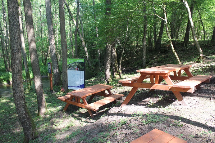
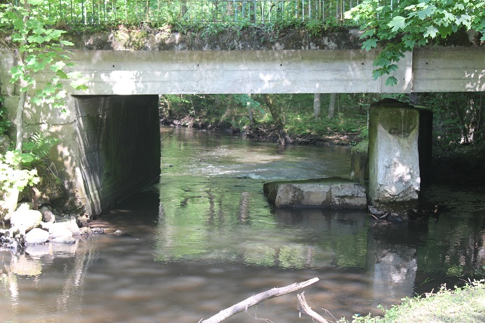
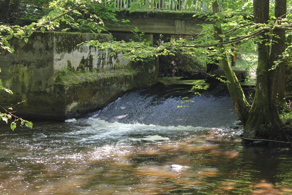
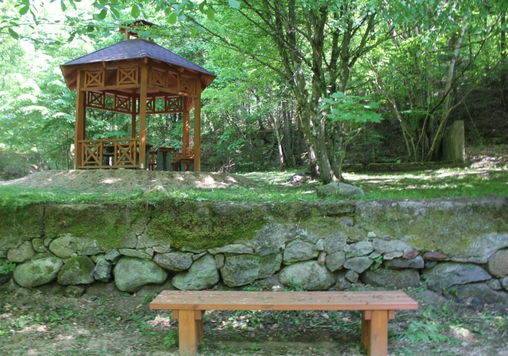
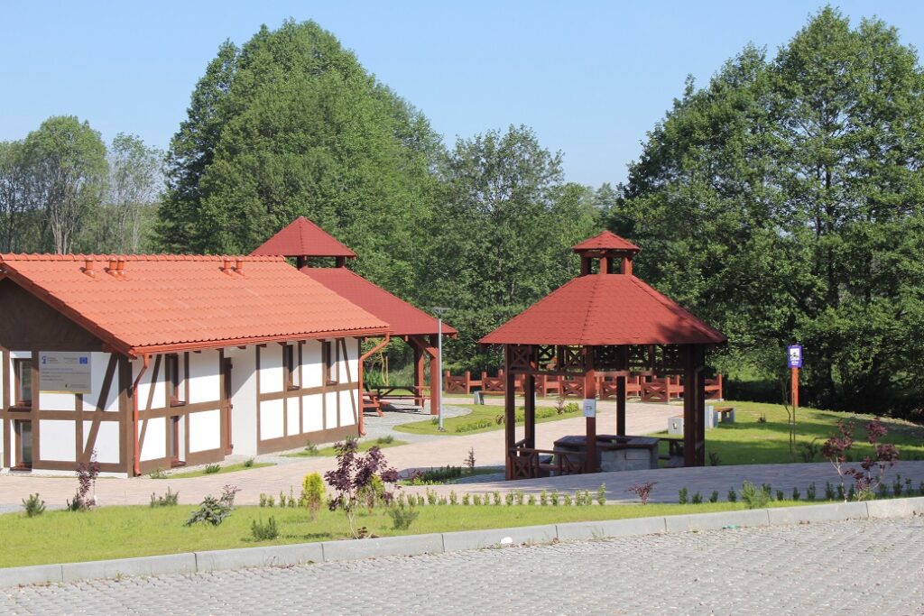
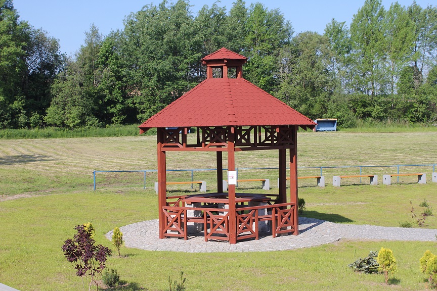
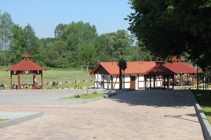
It is best to start your boating trip on the Kamienica River in Tuchomie and finish in the village of Gałąźnia Mała. The Kamienica is a difficult river with fallen trees found along its entire length, with numerous rapids, trees and obstacles (stones) in its current. The stretch upstream of Kamieniec is difficult to get through at low water levels. There are numerous portages on the river. The Kamienica River is suitable for persistent, experienced kayakers. The trip takes 3 days. In the recent years, low water levels have been noted on the Kamienica river. It is a good idea to check hydrological conditions before planning your trip. The kayaking trip starts at the kayak marina next to the sports ground in Tuchomie. Initially, the river is narrow and overgrown in places. It winds among meadows. After about 4 km, the river clearly enters forest land. You paddle past a kayak marina. Many fallen trees. It will be like this at least up to Gałąźnia Mała. On the 9.8th kilometre, there is a convenient stopover (start) point – a marina for an extreme trip down the Kamienica. It is called Modrzejewo Młyn. Next to it, there is a bridge under which you can see a weir and remains of a former mill. It may give a lot of excitement to skilled kayakers. Those less experienced need to use a portage. At this place, the river is slightly wider, but still, there are many fallen trees that give you a hard time. The following kilometres also feature onerous places with fallen trees, alternating with rapids. After covering the next 4 km of the route, you reach the beginning of the canal used by the Kamienica hydroelectric power station. You have to portage you kayak to launch it into the canal. The boating trip in this place depends on the water levels but you should expect rather low ones. There is an obstacle course (fallen trees) and towing of your kayak ahead. Paddling along the canal itself is a 3-km long rest after the just covered challenging stretch of the Kamienica. Then, you portage you kayak. This time, at the Kamienica hydroelectric power station. Now, you go back onto the river. The next 3 km of the trip is the most difficult and challenging stretch of the route. There are countless spots with fallen trees with varied levels of difficulty. On the route, you go under a concrete-wooden bridge and then under a railway bridge. At the trout farm in Kamieniec, you have to overcome damming thresholds. There is a portage (on the left-hand side) to the canal going around the farm. You go past fish ponds on the left. The route continues under a bridge and then you can take a stopover at the kayak marina. Downstream of the marina, there are remains of a former weir. You paddle for less than 1 km and enter the Stara Słupia River. The next 10 kilometres take you across forests where the river meanders strongly in places and the riverbed features fallen trees. On the way, you go under a concrete bridge. Then, about 1 km upstream of the Gałąźnia Mała hydroelectric power station, you go through the Dolina Huczka nature reserve. After passing the reserve area, on your right-hand side, there is the Huczek stream and then the power station. The trip ends at the kayak marina in Gałąźnia Mała (about 1 km downstream of the power station).