Section length: 22.5 km
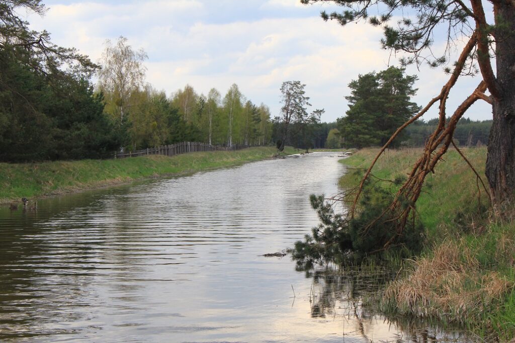
The Wda Canal Route is an interesting alternative to trips down the Wda River. The easy stretch from Borsk to Cegielnia is about 18 km long. Interestingly enough, you can paddle along the canal in both directions. The kayaking trip will take one day. You start downstream of Borsk, at the fork of the Wda River and the Wda Canal. The trip begins at the point where the canal branches off the Wda oxbow lake. This place is also called Górskie Mosty. You go through the village of Żebrowo. After 3.5 kilometres, there is a kayak marina in Bąk. You enter forest land. The first fallen trees appear, which have been cut through in places. This makes your trip easier. At the 5.6th km of the route, a place is marked where it is possible to portage over the Wda River (200 m). Close to the village of Uroża, there are quite a few sloping and fallen trees in the riverbed (8.5th km of the route). Further on, you go past gates used for irrigation of nearby meadows. On the 11.5th km, the route goes under a railway bridge and a kilometre further, under a local road bridge. Next to it, there is a good place for a stopover. There is a hamlet nearby, about 650 m to the village of Wojtal. You enter a stretch running far away from people and buildings. On the 16th km of the route, there is a road bridge; from here it is about 2 km to the village of Leśna Huta. 3 km further, another bridge, also 2 km from Leśna Huta. Further on, you pass sedimentation tanks that treat pollutants from the wood processing plant in Czarna Woda. On the 20th km of the route, there is an onerous gate. You have to lay down in your kayak. The route reaches the village of Cegielnia. You paddle under a damaged steel footbridge and over the Studzieniczna Struga stream. The trip ends at the wooden bridge downstream of Cegielnia.