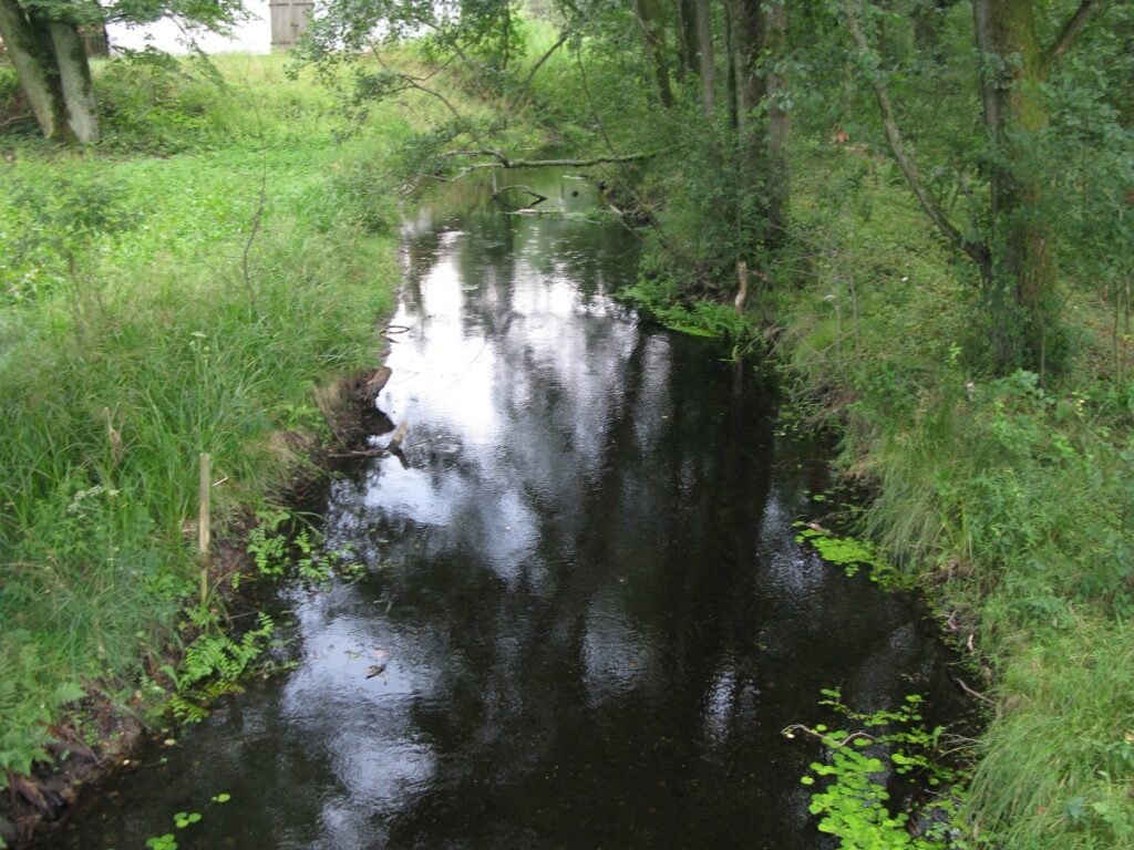

A forest river
Route length: 17.8 km
Number of days: 1
Number of portages: 3
Recommended kayaking trip route: Lipczynek – Sąpolno
Difficulty: a difficult and strenuous kayaking route
Obstacles along the route: 3 – two low footbridges and one mill in the Sąpolno village. In addition, there are many smaller footbridges and bridges. Numerous fallen trees.
The Lipczynka River is a left tributary of the Brda River. Its headwaters area is located between the tiny lakes of Olszewskie and Węgorzówka, hidden in the forest, from where it flows further south, feeding the much larger Lake Lipczyno Wielkie. The main stopping points on the route are found at: Lipczynek, Przechlewko, Dąbrowa Człuchowska and Sąpolno where the river flows into the Brda River. The length of the river is about 23 km, while the navigable route stretches for about 18 km. The river is picturesque, clean, with a reddish colour and a sandy bottom. The upper stretch passes through wooded areas, while the lower one is in more open terrain. Now and then you have to overcome obstacles such as fallen trees, and in a few places you have to go down more rapid water. The Lipczynka River route complements other kayaking routes on the Brda River and its tributaries. It is suitable for more experienced kayakers. The route is not appropriate for mass tourism. The length of the river allows for a one-day kayaking trip. It takes about 5 – 6 hours to cover the distance, depending on how fast you go.