Słupia – easy route (Gowidlino – Sulęczyno) while it should be a moderately difficult route

Słupia – easy route (Gowidlino – Sulęczyno) while it should be a moderately difficult route

Section length: 14 km

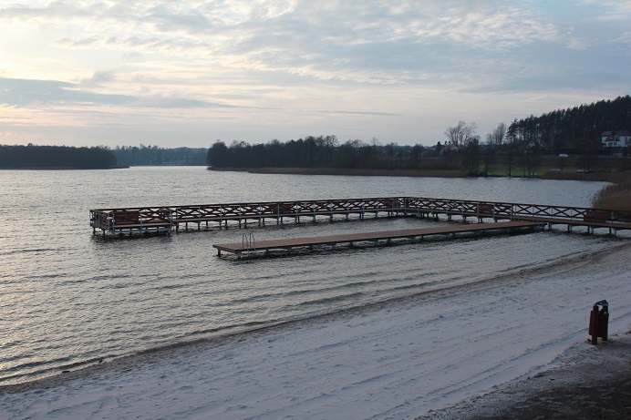
The stretch from Gowidlino to Sulęczyno is moderately difficult. Initially, the route crosses Lake Gowidlińskie. You should paddle across the lake along its left shore. On the right, you pass the island of Ostrów and then the Gogowe peninsula. The funnel-shaped outflow of the Słupia River is found at the southern end of the lake. Then, you continue along a narrow, relatively overgrown river section, and one kilometre from the lake, in the village of Amalka, you have to portage for the first time. After a few kilometres, you reach Lake Węgorzewo. When paddling on the lake, follow its right shore to reach the village of Sulęczyno. Alternatively, you can go about 1 km to the southern shore of the lake to a kayaking marina. Around the bridge, there are stony rapids to get through.

Information
  • Trail length: 14 km
  • Difficulty: easy section

Cookies

We use cookies to customise and personalise content and advertising, enable social features and analyse website traffic.

We share information about how you use our website with partners in the areas of social media, advertising and data analytics. Partners may combine this information with other data received from you or obtained through your use of their services.
By clicking "I accept all", you agree that we use all types of cookies. To decide for yourself which types of cookies you accept, select "Settings". For more information, see our Privacy Policy