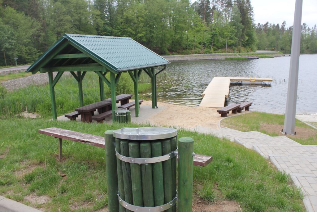
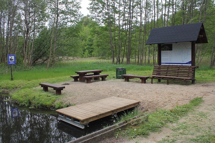


Section length: 14 km
The stretch from Gowidlino to Sulęczyno is moderately difficult. Initially, the route crosses Lake Gowidlińskie. You should paddle across the lake along its left shore. On the right, you pass the island of Ostrów and then the Gogowe peninsula. The funnel-shaped outflow of the Słupia River is found at the southern end of the lake. Then, you continue along a narrow, relatively overgrown river section, and one kilometre from the lake, in the village of Amalka, you have to portage for the first time. After a few kilometres, you reach Lake Węgorzewo. When paddling on the lake, follow its right shore to reach the village of Sulęczyno. Alternatively, you can go about 1 km to the southern shore of the lake to a kayaking marina. Around the bridge, there are stony rapids to get through.