

Section length: 37 km (+4.2 km western end of Lake Lubowisko)
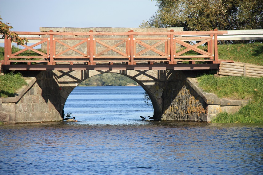
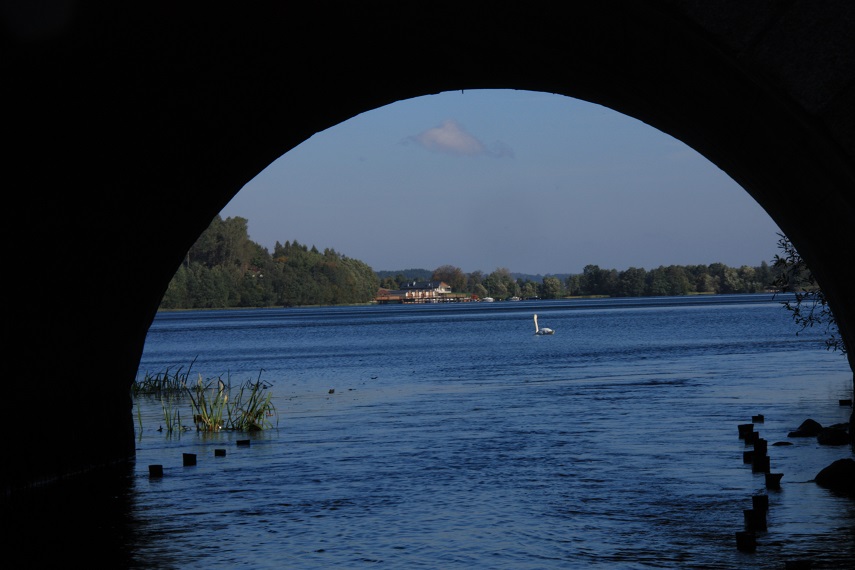
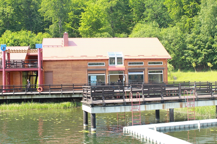
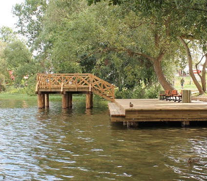
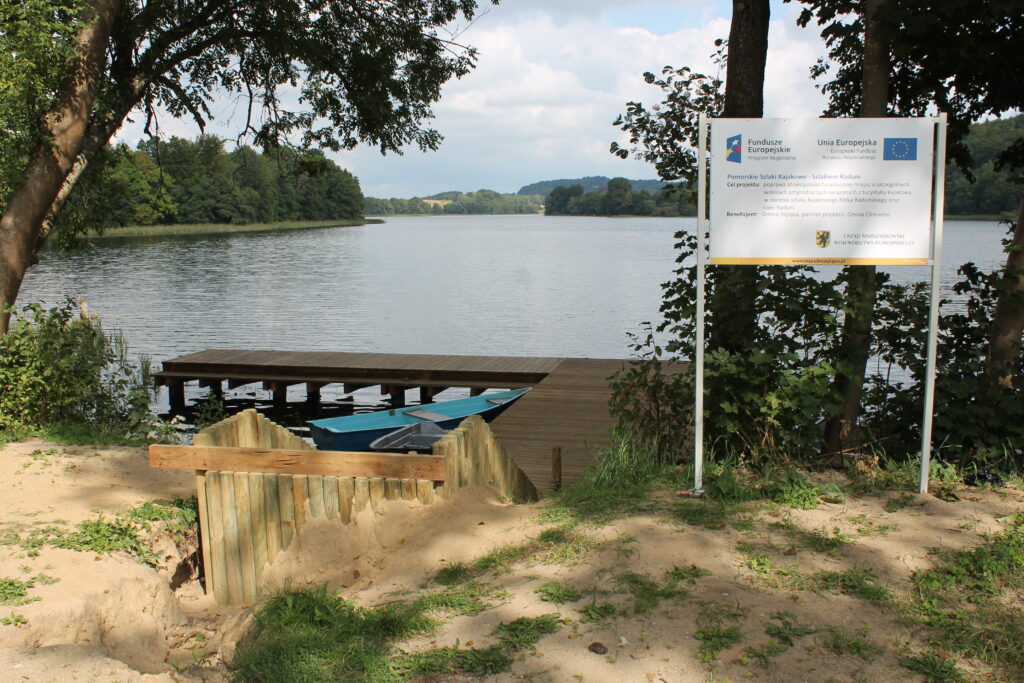
You should dedicate 2 days to complete the Radunia Lakes Circle route. The trip is easy, if there is not wind with accompanying waves, and goes mainly across lakes. The best place to start kayaking is in Stężyca (you can start in other places); you go through two long lakes: Raduńskie Górne and Raduńskie Dolne. Between the lakes, there is the so-called Kashubian Gate comprising a causeway and a bridge over the narrows. On the route, you can admire Kashubian hills and forests. At the end of the lake, the river starts in a narrow bay. Then, there is a portage at the weir and mill in Chmielonek. Further on, you reach smaller lakes in the vicinity of Chmielno, i.e. Lakes Kłodno, Rekowo and Białe. The trip continues along short stretches of the Radunia River. First you enter Lake Brodno Małe. The landscape changes. It is flatter with fields and few trees. You reach the narrowing in Ręboszewo. It may be shallow under the bridge. The route enters Lake Brodno Wielkie, where on its right side the Centre for Water Sports and Regional Promotion on Złota Góra hill is situated (every year in early July, it is here that the Strawberry Harvest Festival is organised). Again, the landscape turns mountainous with high hills surrounded by forests (the highest hill of the Polish Lake District and the whole Polish Lowlands). From this waterbody you go down the narrows to reach Lake Ostrzyckie and there, in the middle of the way, there is a portage across a road and weir. The lake itself splits up into the right part, wilder and more natural, and the left part, which is developed, intended for tourists and reaches Lake Patulskie at the very end. Note: the passage is hidden in reeds and it takes some time to find it. On route, you pass the village of Kolano on your right; it is situated at the foot of Wieżyca hill, the highest peak of the Kashubian Region, featuring an observation tower that can be seen from the lake. In the village of Krzeszna, the stream takes you to Lake Patulskie. After crossing it, you break through to Gołuń along the 3 km stretch of only 1-metre wide stream, towing you kayak for about 1 km. The section is shallow, overgrown and narrow. You reach Gołubie and there is a portage of about 200 m next to the mill. Further on, there are low bridges and a weir on the outflow of the river from Lake Dąbrowskie, where a 10-metre portage on the right side is necessary. The trip ends at the lido and pier by the lake. Those persistent can continue to Lake Lubowisko and complete the Radunia Lakes Circle Route. You paddle for about 2.5 km to the other end of the lake, situated among forests, like Lubowisko. Then, there is a portage of about 150 metres from the small bridge at the inflow of a stream into Lake Dąbrowskie to the pier on Lake Lubowisko. Actually, there is a stream connecting both lakes but it is overgrown and shallow. The trip ends on the western side of the mid-forest Lake Lubowisko. Close to the shore, there is a forest road running towards the road from Stężyca to Kościerzyna and Lake Stężyckie.