
")
Section length: 15 km
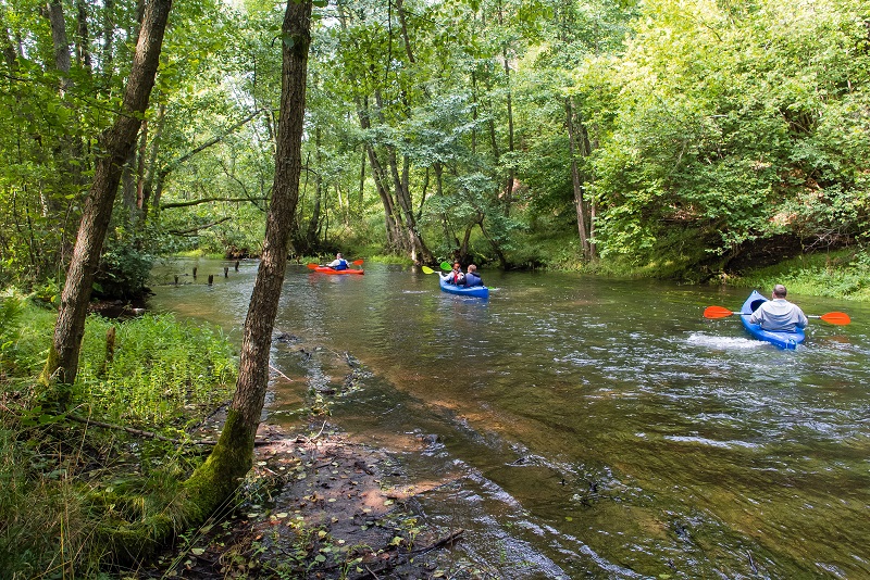
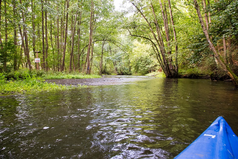
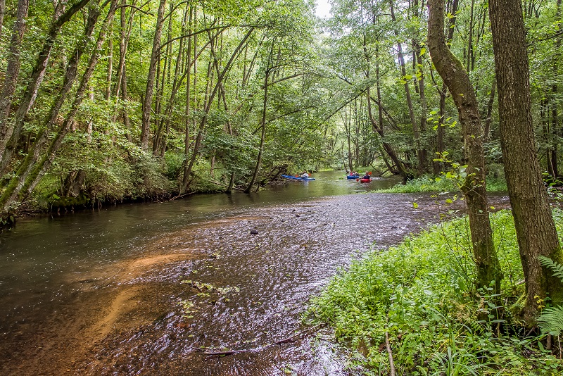
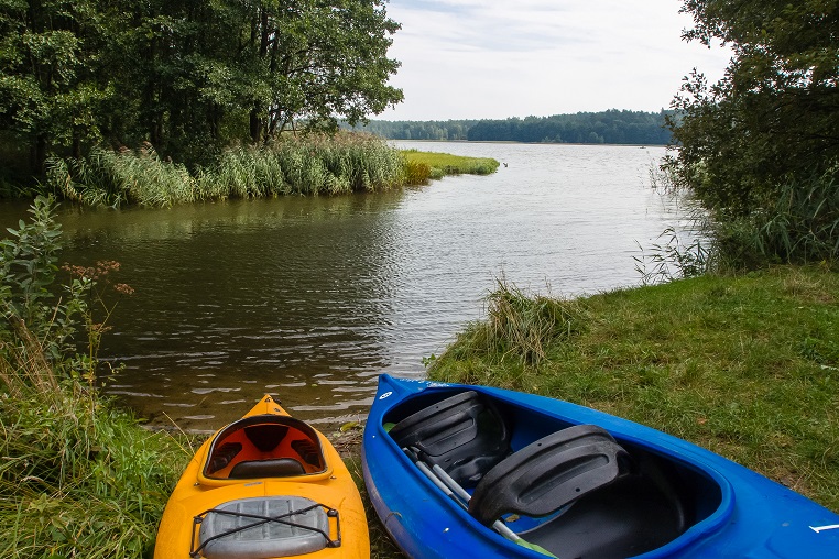
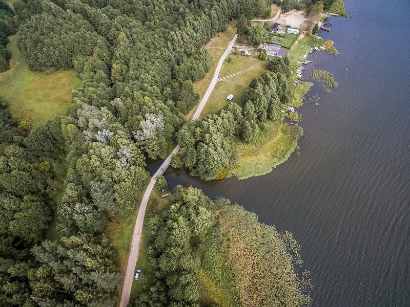
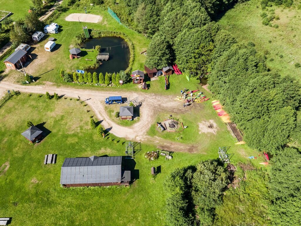
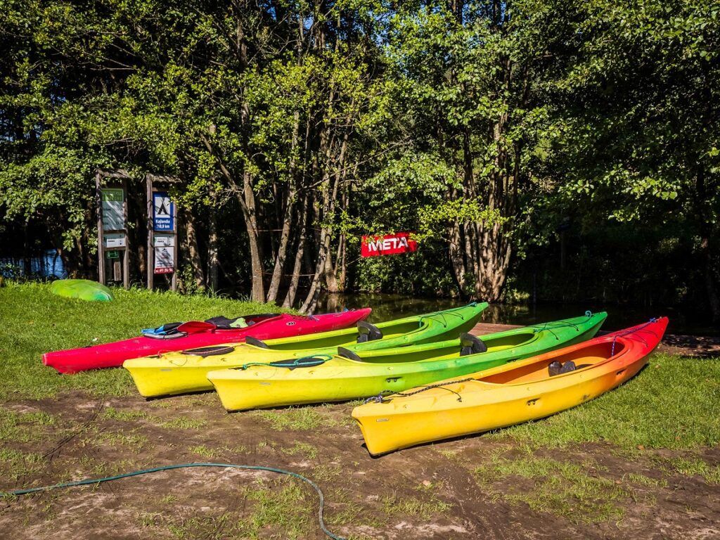
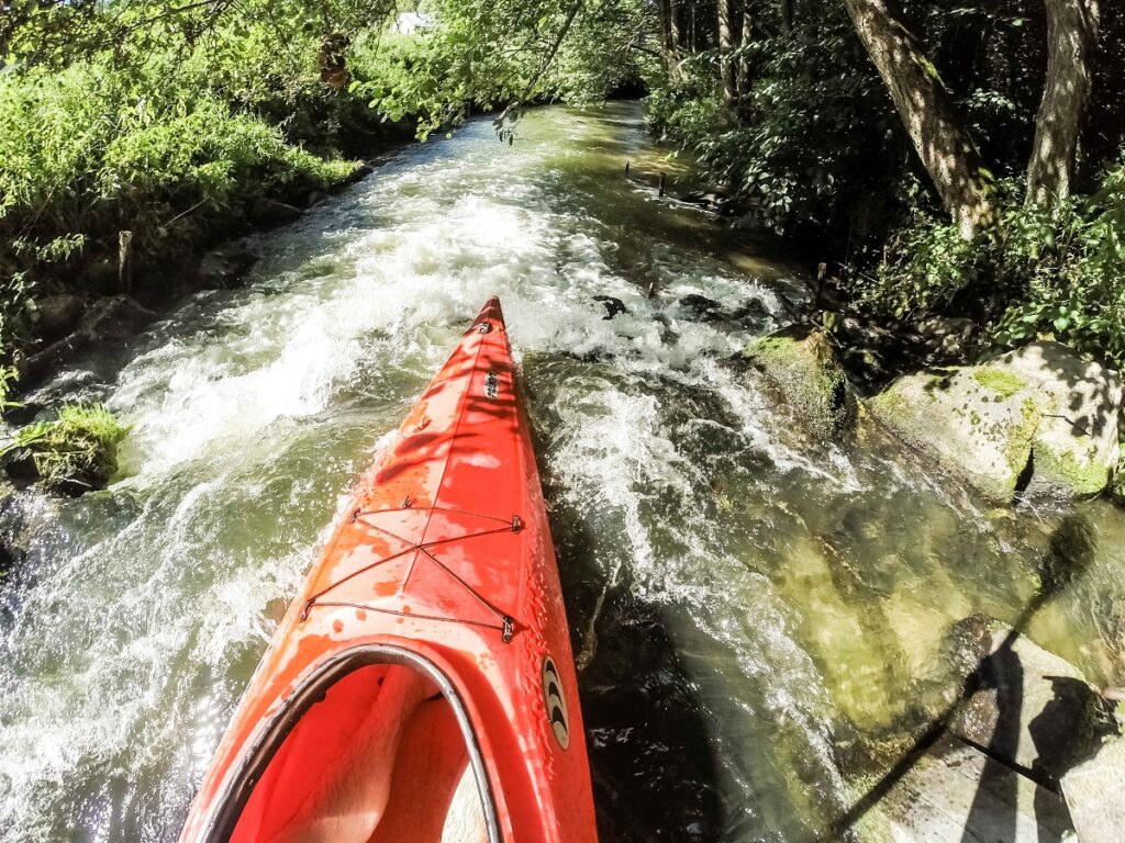
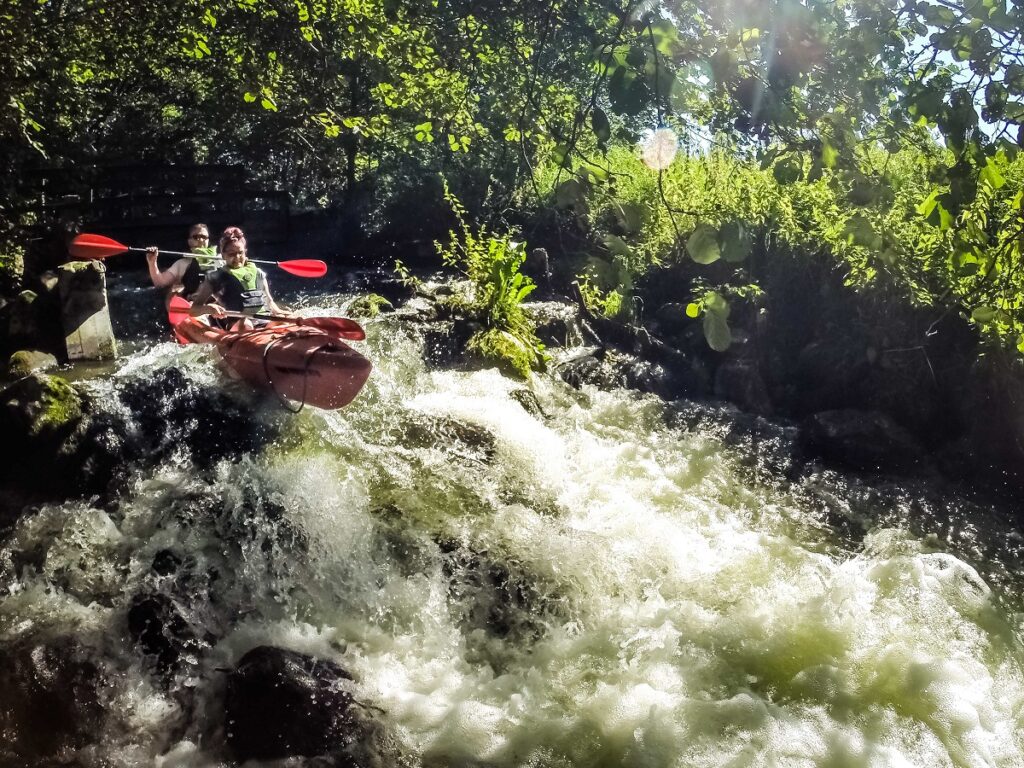
The section from Sulęczyno to Młynek is partly difficult and moderately difficult. Downstream of Sulęczyno, the most difficult part of the Słupia River, called Sulęczyńska Rynna, begins. Kayakers face here quite a challenge. It is a rapid stretch of the river of a mountainous nature. Those who love challenges and adrenaline will feel at home here. This section offers 300 metres of rapids completely strewn with boulders, and its water drop of about 4‰ is the highest in the Polish Lowlands. It is worth it to use kayak aprons here. After passing the stretch, there is a portage of approx. 50 m around the sawmill. When you launch you kayak, you will continue your trip down the river meandering among forests with fallen trees and rapids in places. Forests give place to meadows. The route goes past the villages of Nowe Pole and Parchowski Młyn. After a few kilometres, the river widens and its current slows down a little to enter Lake Żukowskie. On entering the lake, you turn right and paddle to the opposite side and then along the left shore to the outlet. After covering over a kilometre of the river stretch to Bylina (Młynki), your reach a portage around a weir (you land and then launch you kayak on the right bank) which is the beginning of the canal conveying water to the first power station on the route. From here, kayaks are delivered to Soszyca by road (about 3 km).